


Storm Austen named as heavy rain nears North Wales tonight
Gusts could reach 61mph at Holyhead by 10am on Friday, yet no warning covers North Wales, even though heavy rain is forecast through Thursday night.
 By
Rhys Vaughan
In brief
- The Met Office has named the storm Austen, which is due to arrive from the south west.
- A yellow wind warning covers south Wales and southern England, but not North Wales.
- Heavy rain is forecast from Thursday night until about 10am on Friday.
- More wind and rain are likely over the weekend, with the heaviest rain more probable in the west.
The Met Office has given the name Austen to an incoming storm, and the Daily Post reports that North Wales is bracing for heavy rain and gales as it approaches from the south west.
How Austen is forming and where warnings stand
The system starts out as a pocket of low pressure developing over the Atlantic. The Met Office expects it to intensify quickly because the jet stream is feeding it.
A yellow wind warning is already in force across south Wales and southern England. It flags possible disruption to travel, loss of power and injuries caused by flying debris in some locations.
No warning has yet been put in place for North Wales. Even so, weather charts point to heavy downpours arriving on Thursday night and continuing until roughly 10am on Friday. For residents of Caernarfon and Gwynedd, that means the wettest spell is forecast to run through the small hours and into the Friday morning.
Tom Crabtree, the Met Office Deputy Chief Forecaster, set out the reason for naming the storm: “While the exact track and position of Storm Austen is still being determined, what’s clear is that we have an impactful period of weather on the way and the potential for disruption in places, which has resulted in the system being named.”
Thursday night and Friday in North Wales
Forecasts have the wind strengthening overnight on the Anglesey coast, from a top speed of about 42mph at Amlwch on Thursday night to 61mph at Holyhead by 10am on Friday. The storm is then expected to travel from west to east across the day, which means the strongest winds should move away from the western coast as Friday goes on.

| Time | What is forecast |
|---|---|
| By about 10am on Friday | Downpours expected to last until about this time; 61mph at Holyhead |
| Later on Friday | Winds generally ease as the storm moves east |
Crabtree said: “Peak gusts in excess of 70mph are possible on the most exposed coastal areas, while 50-60mph are likely more widely within the warning area.” The warning area he refers to is the yellow alert covering south Wales and southern England.
Rain, and what follows the storm
Rainfall adds a second hazard. Totals of 20-30mm are forecast in many places, and higher ground in the west, as well as areas further north, could see more on Friday.
By late Friday the storm should lose its grip as it heads out over the North Sea. The Met Office said more spells of wind and rain are likely across the weekend and into the start of next week, and that western areas are the more likely to get the heaviest rain.
Crabtree added: “Weather warnings are under constant review and could be updated as confidence increases, so it’s important to stay up-to-date with the forecast in the coming days.”
Because the exact track of the storm is still being worked out, the forecasts for the Anglesey coast quoted above are the only locally specific figures available so far.
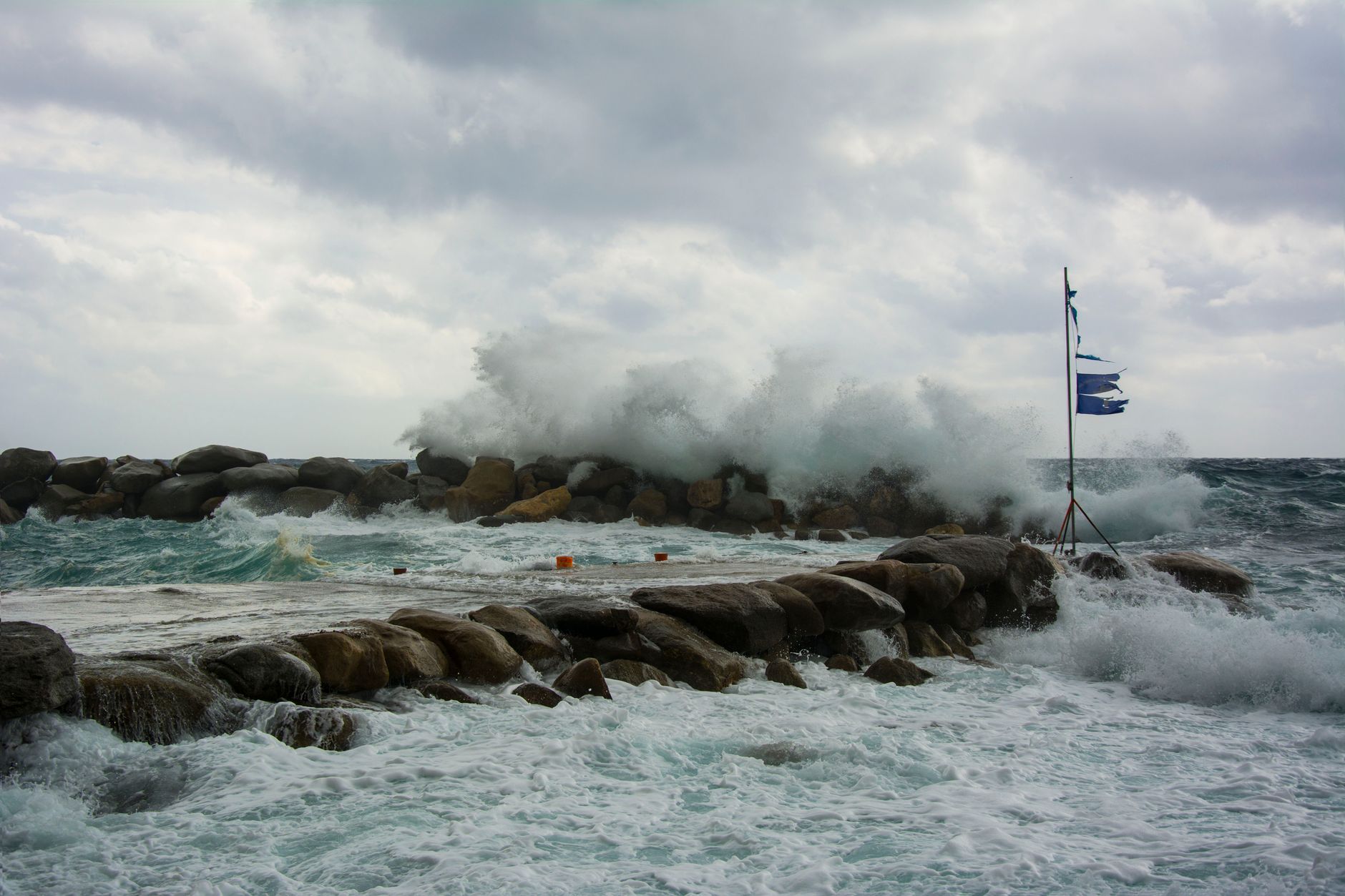
Photo: giorgos kalogridis / Pexels