




| IN A NUTSHELL |
|
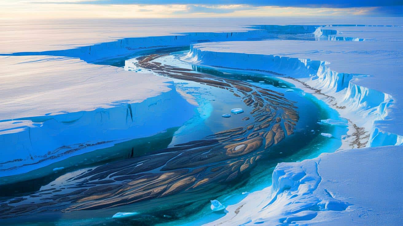
Hidden beneath the vast ice sheets of Antarctica lies a remarkable discovery, a fossilized plain that could reshape our understanding of the Earth’s geological and climatic history. This ancient landscape, uncovered by British scientists using airborne radar technology, stretches for an astonishing 2,175 miles. The revelation of this massive fluvial landscape, shielded for millions of years by a thick layer of ice, offers a glimpse into a time when rivers flowed where ice now reigns. This finding not only enriches our knowledge of Earth’s past but also provides crucial insights into the dynamics of ice sheets and their influence on global sea levels.
Unearthing a Frozen Past: The Discovery
The discovery of this gigantic fluvial landscape beneath Antarctica’s ice sheets has captured the attention of scientists worldwide. Using a radar system mounted on a Twin Otter aircraft, researchers from the British Antarctic Survey detected the expansive and largely flat terrain hidden under three kilometers of ice. This ancient landscape, which stretches between George V Land and Princess Elizabeth Land, serves as a geological time capsule, preserving the remnants of river valleys and plateaus from Earth’s distant past.
Millions of years ago, Antarctica was not the icy wilderness we know today. The continent was once part of a larger landmass with Australia, where rivers carved the landscape, shaping valleys and flattening plateaus. However, around 34 million years ago, a dramatic cooling event led to the formation of the Antarctic ice sheet, preserving the landscape like a frozen museum. The radar images revealed an unexpectedly smooth terrain, suggesting that these ancient river systems have remained largely untouched by the forces that typically reshape the Earth’s surface.
The Role of Ancient Rivers in Ice Dynamics
While these fossilized rivers have long been hidden from view, their influence on contemporary ice dynamics is profound. The relatively flat terrain created by these ancient rivers acts as a natural brake on the movement of modern glaciers. As glaciers flow toward the ocean, their speed is influenced by the underlying topography. In areas where the ground is flat, like the regions shaped by these prehistoric rivers, the glaciers move more slowly.
This slowing effect plays a crucial role in stabilizing the Antarctic ice sheet. By acting as natural speed bumps, these ancient landscapes help regulate the flow of ice, potentially delaying the rise of sea levels. In the context of global warming, where the melting of ice sheets poses a significant threat to coastal cities worldwide, understanding these dynamics is essential. The presence of these rivers as a moderating force underscores the complexity of Antarctica’s ice system and its impact on the global climate.
Implications for Climate Models
The discovery of this vast, flat terrain beneath the ice has important implications for climate modeling. Accurate climate models are essential for predicting future changes in sea levels and for developing strategies to mitigate the impacts of climate change. However, for models to be reliable, they must incorporate detailed information about the underlying topography of the ice sheets. Until now, the existence of these smooth, ancient river beds was unknown, meaning previous models may have overlooked a critical factor in ice flow dynamics.
By integrating this new understanding of the Antarctic subglacial landscape, scientists can refine their models to provide more accurate predictions of how ice sheets will respond to warming temperatures. This knowledge is particularly vital given the potential for the Antarctic ice sheet to contribute significantly to sea level rise if current trends continue. As researchers work to incorporate these findings into their models, the global community gains a more comprehensive view of the challenges and potential solutions related to climate change.
Technological Innovations in Polar Research
The breakthrough in discovering this fossilized river system was made possible by cutting-edge radar technology. The radar, capable of penetrating thick ice, provides a detailed view of the hidden landscape below, much like a medical scanner reveals the inner workings of the human body. The success of this mission, overseen by the British Antarctic Survey, demonstrates the power of technological innovation in advancing our understanding of the planet.
Future explorations aim to extract core samples from these ancient river beds, a task that presents significant logistical and financial challenges. Drilling through several kilometers of ice to reach the bedrock is an expensive and technically demanding endeavor, but the potential insights into historical climate conditions and ice sheet behavior are invaluable. These geological samples could unlock secrets about past climate changes and help predict future shifts, providing a vital piece of the climate puzzle.
As we continue to explore the hidden wonders of our planet, discoveries like the ancient rivers beneath Antarctica remind us of the Earth’s dynamic history and the intricate systems that sustain life. How will these revelations about our frozen past influence future strategies for addressing climate change and safeguarding coastal communities? The answers lie in the continued pursuit of knowledge beneath the ice. What other secrets might Antarctica’s frozen expanse hold, waiting to be uncovered by the next generation of explorers?